Geospy is an AI-powered visual intelligence platform from Graylark that determines where a photo was taken using the pixels alone. It’s used to turn open-source images into actionable leads for investigations, helping teams quickly narrow location and validate context.

Client
GeoSpy
2024
Position
Lead Product Designer
Team
Daniel Heinen, Raphael, Anastasia Sakharava, Jason Webb, Degreat, Josue Magallanes.
Responsibilites
Product Design
User Resesarch
Design System
Problem
GeoSpy started as a weekend hack—an image-to-location demo the team stitched together quickly. It wasn’t built as a polished product, but it unexpectedly went viral and rapidly became a tool used by 100,000+ people.
Brief
My role was to turn that viral moment into a credible product foundation—redesigning GeoSpy into something elegant and dependable. In parallel, we needed to support professional investigator workflows that could drive real outcomes for people and families.
Goals
Unify
Bring the API, demo upload, and results into a single surface so GeoSpy feels like one product — not a set of disconnected pages.
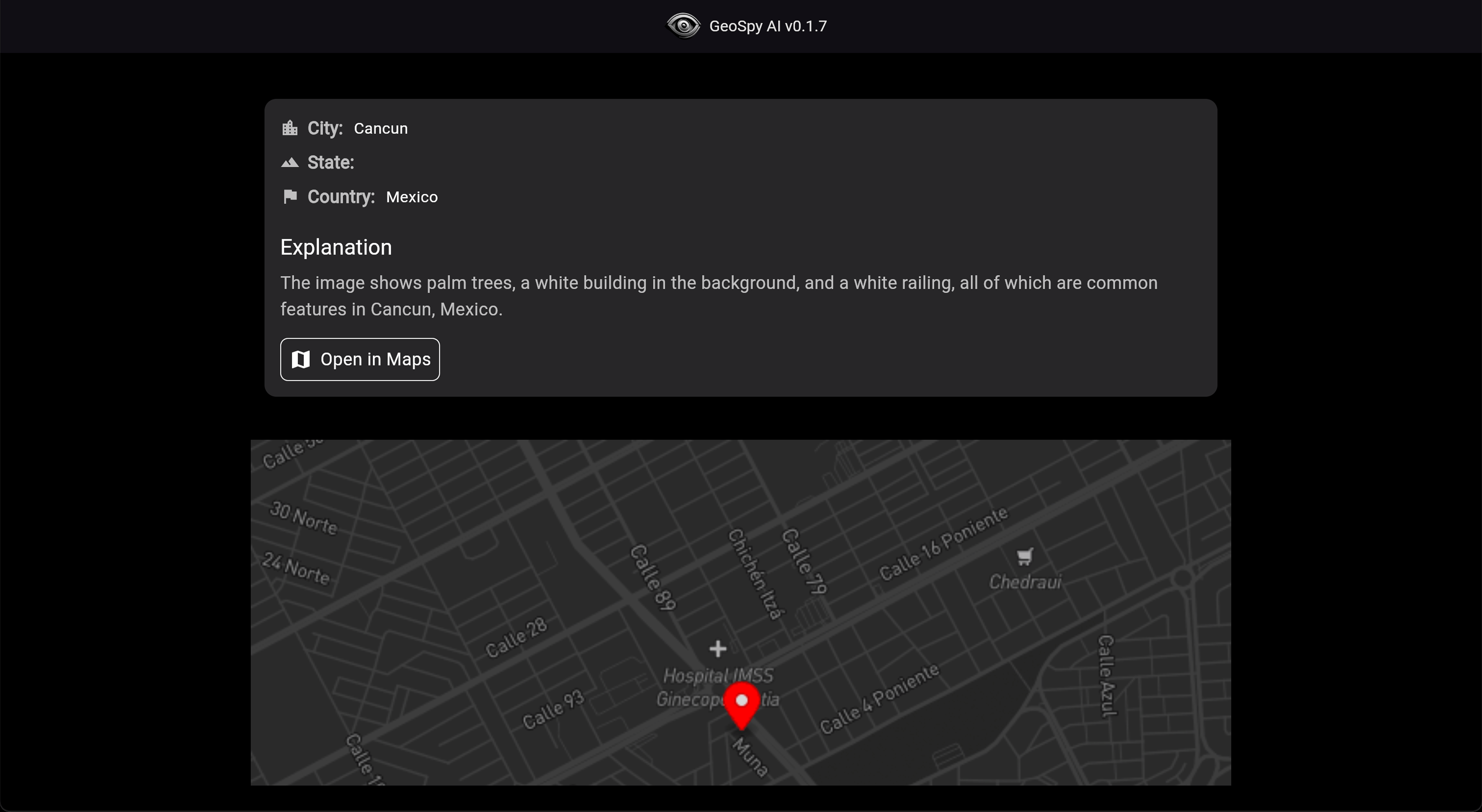
Actionability
Every result should end with a clear next step, not just a location guess.
Explainability
Make outputs feel credible by showing confidence, supporting signals, and a clear “why” without overwhelming the user.
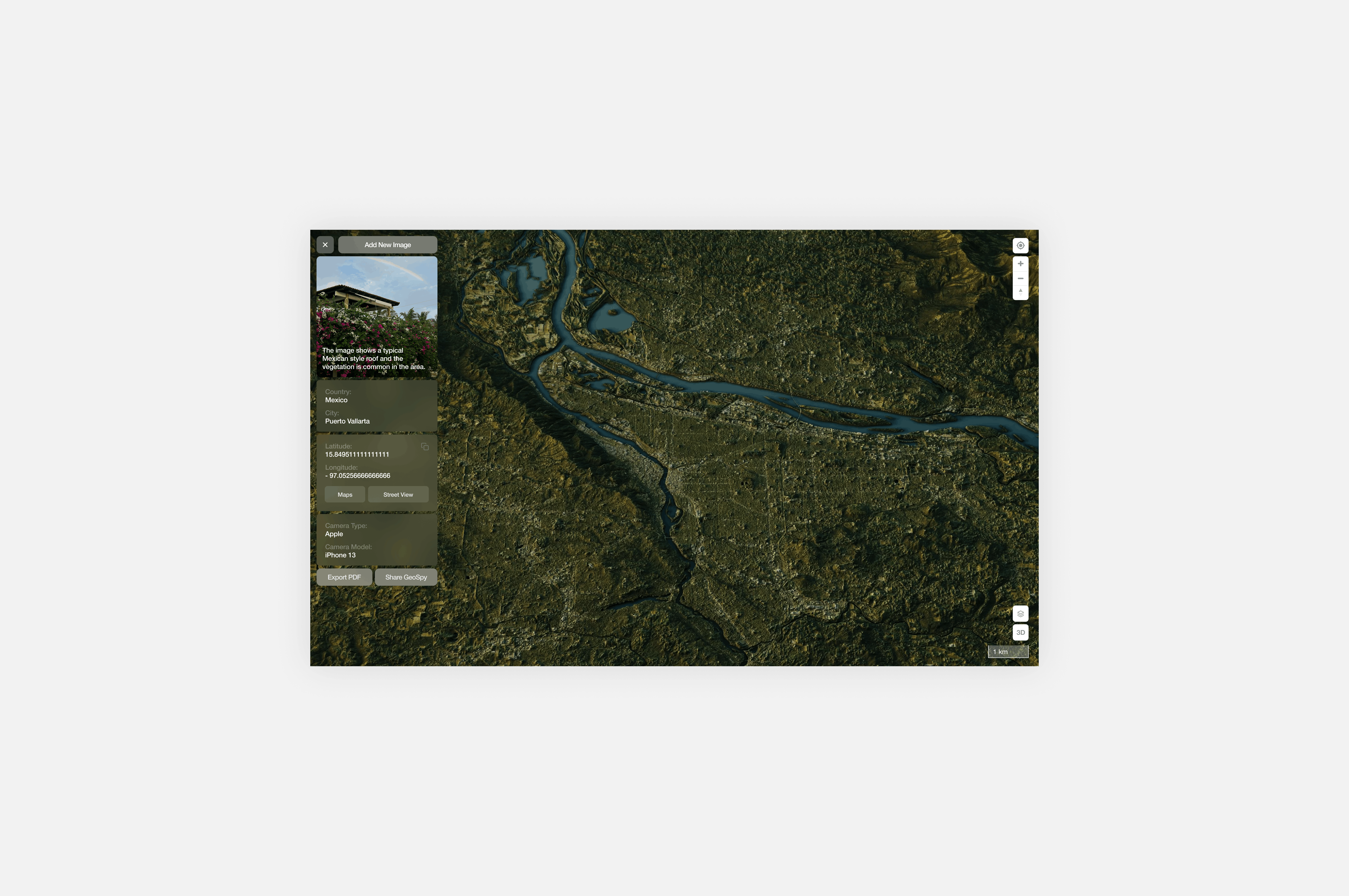
Repeatable Loop
Turn a one-off demo into a system users return to —upload, interpret, save, and organize.
Standardize Patterns
Turn a one-off demo into a system users return to —upload, interpret, save, and organize.